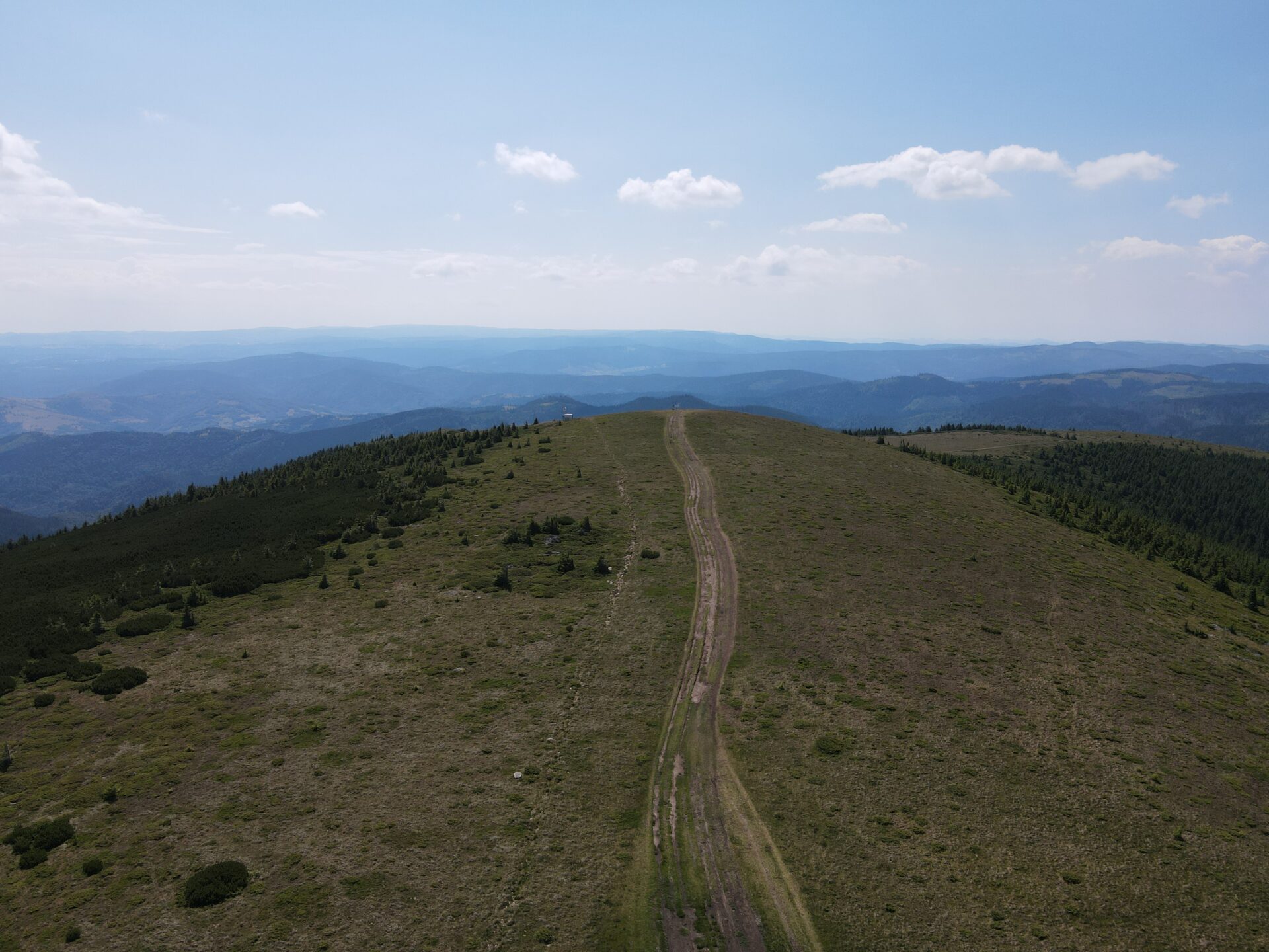
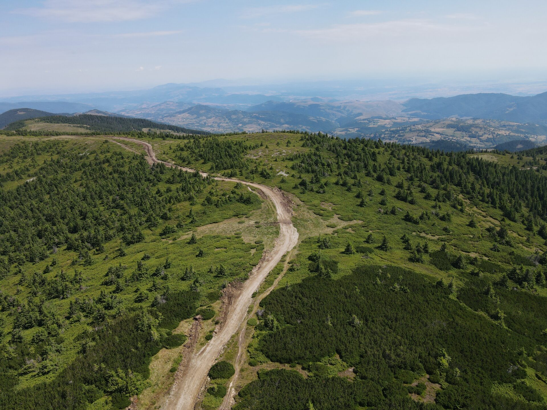
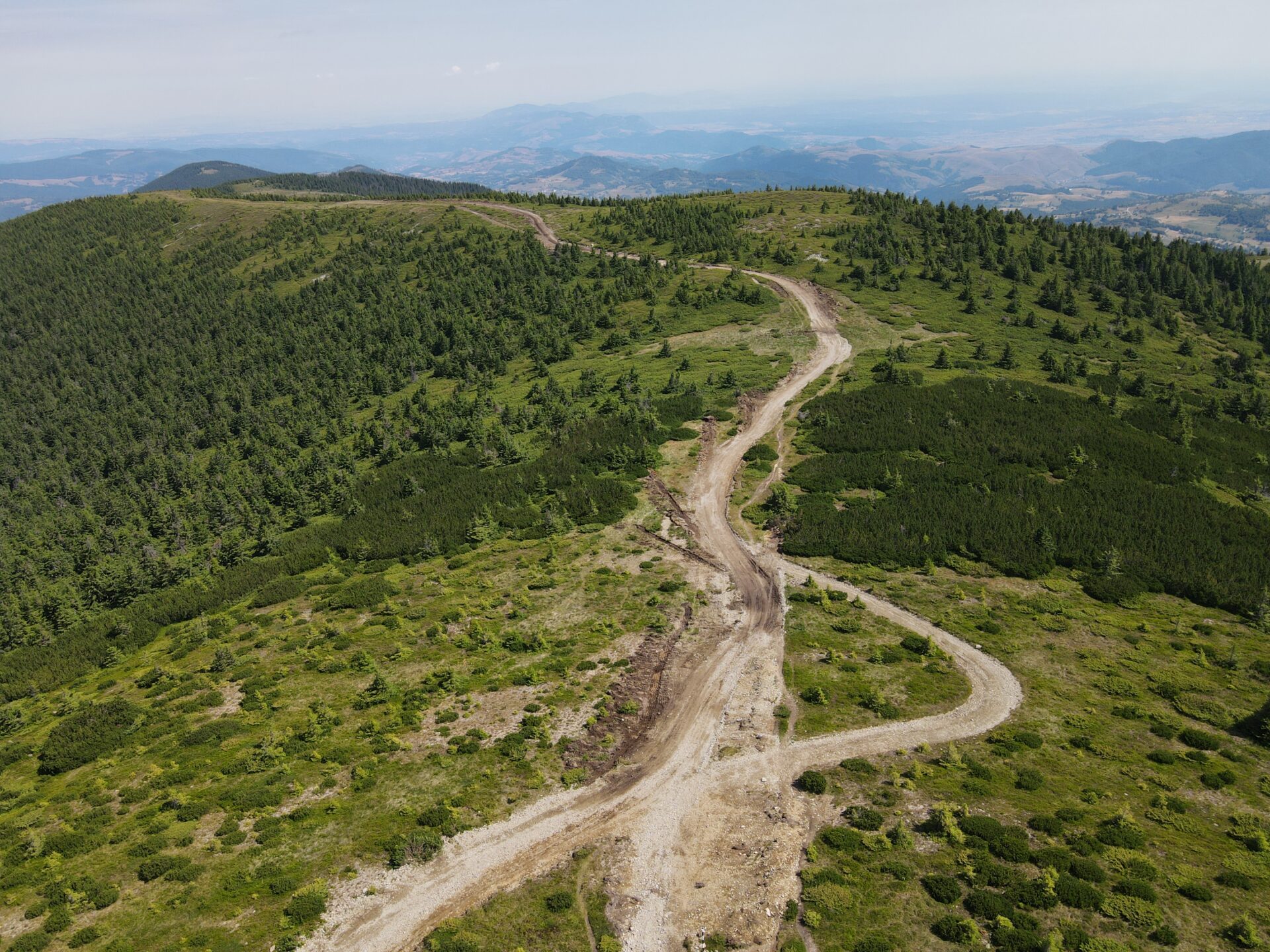
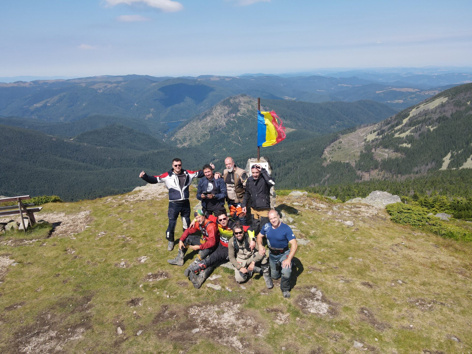
The Apuseni Mountains are the only mountains in our country with three peaks accessible by road. And even the first two highest ones are accessible: Curcubăta Mare Peak 1849m and Vlădeasa Peak 1836m alt. The third one we went to, is Mount Găina. You can see all these roads here on the website or on our Youtube channel.
Next, we will present the route that includes the climb to Vlădeasa Peak and two access routes to the peak.
The climb to the peak
We will start from county road 103H near the village of Săcuieu. You will have to follow the sign to the Vlădeasa chalet on road 103J. After a few kilometers, the paved road goes to the right, to the North, and we will have to go ahead on the unpaved road.
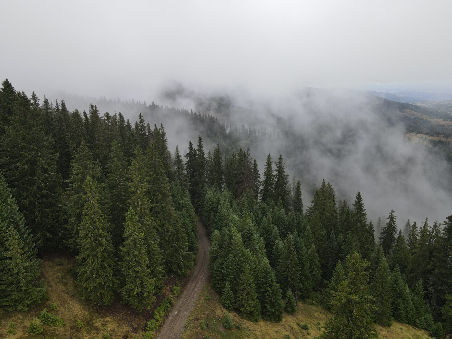
We go a little further along the valley line, then the road starts to climb. There are a few more serpentines and tighter turns. Until Cabana Vlădeasa you go only through the forest. The road is quite good, it is paved and well maintained. It should not be a problem even for beginners.
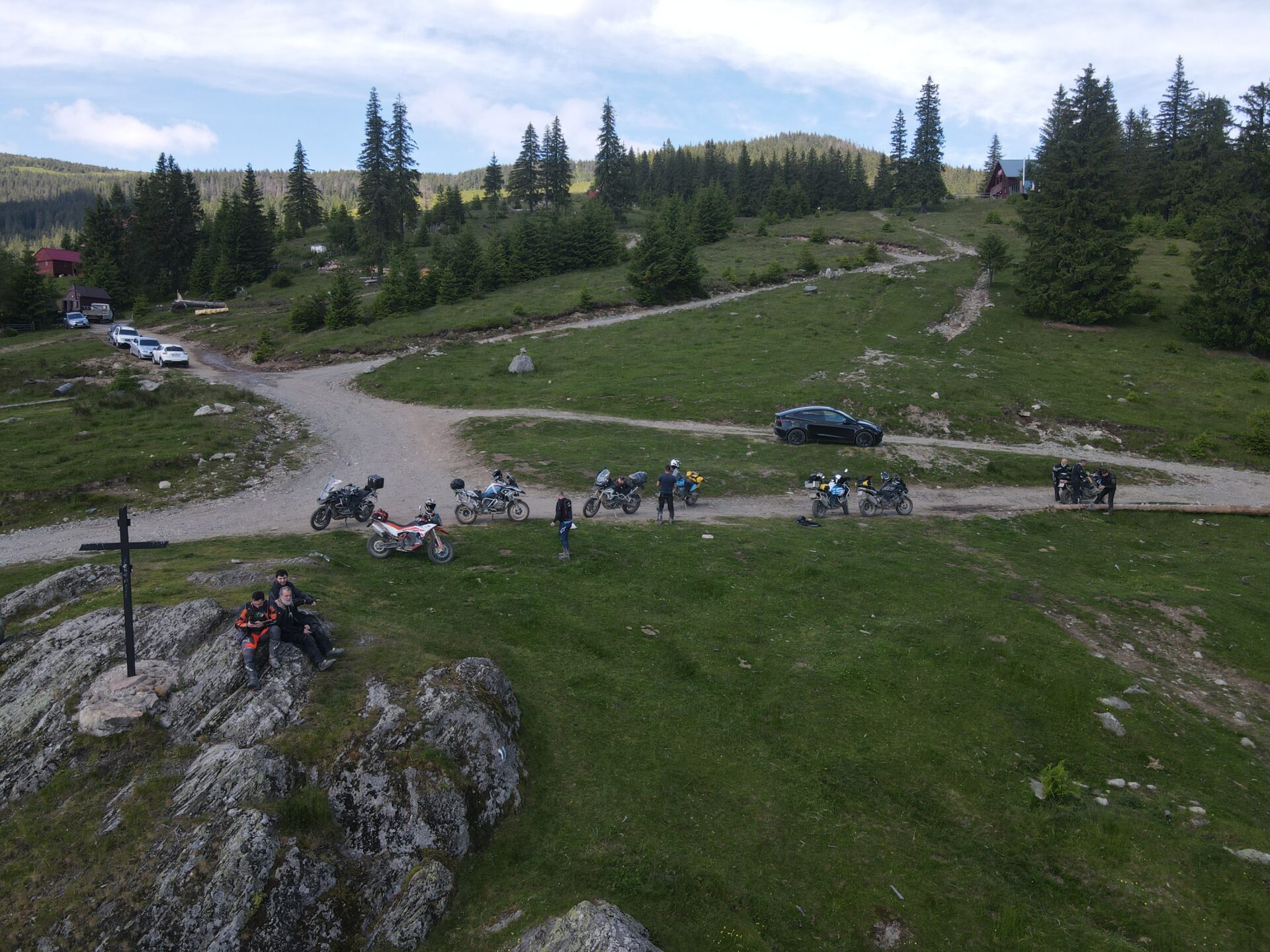
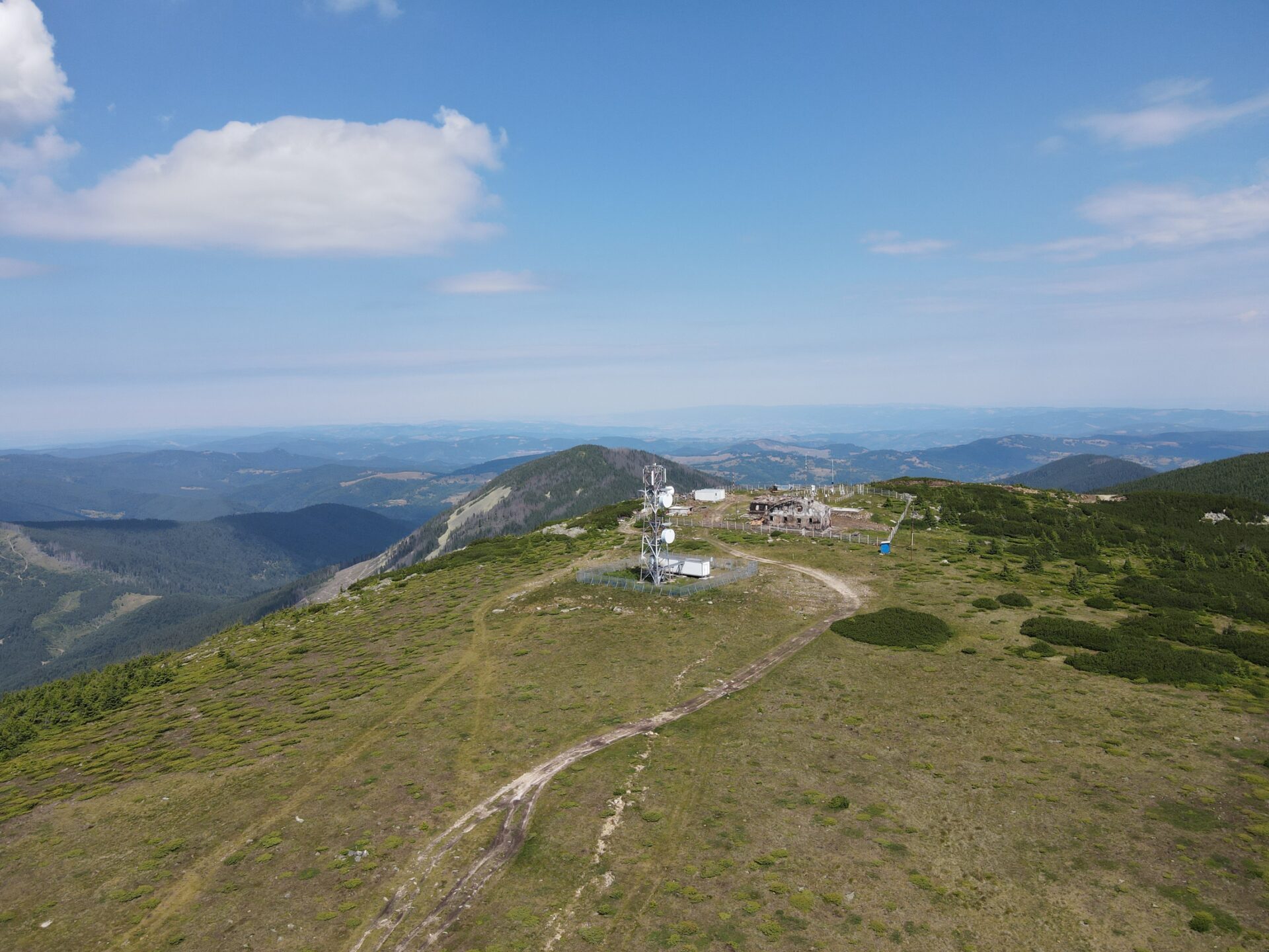
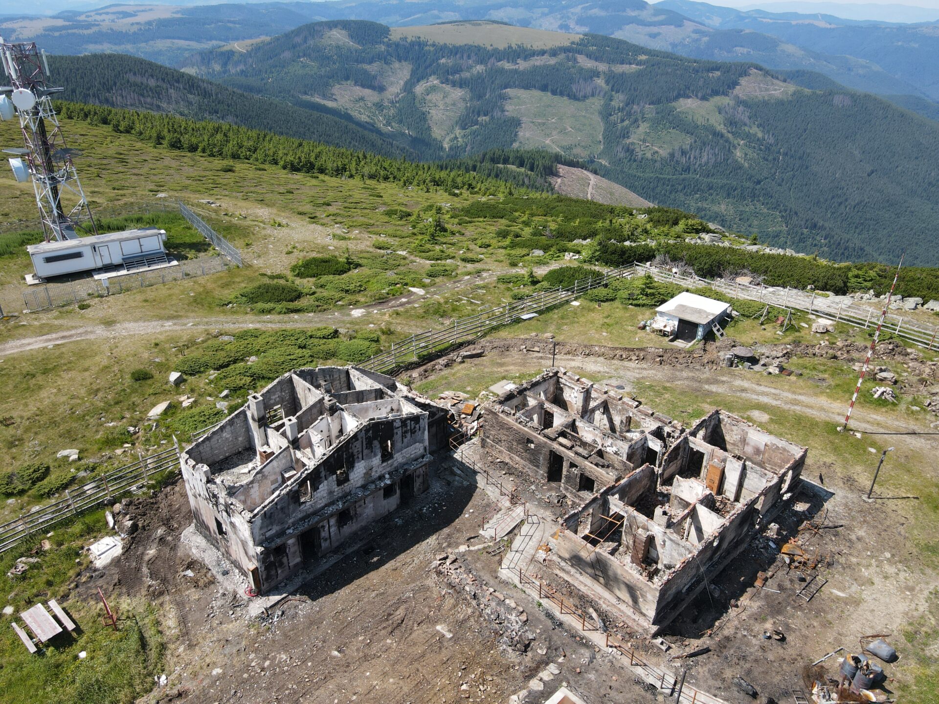
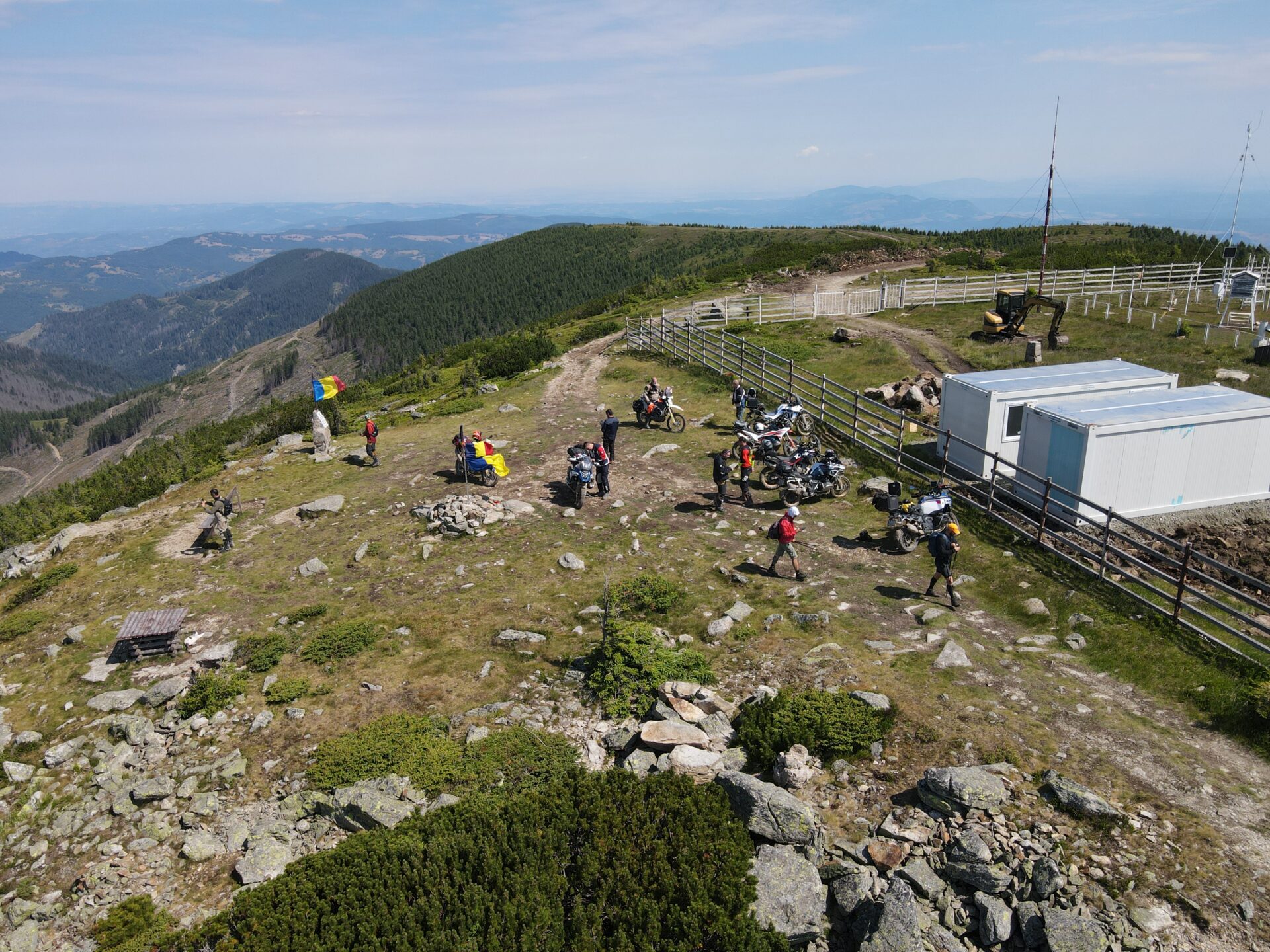
Slowly, slowly, the trees thin out and you will reach an intersection where the landscape opens up in all directions. We are in the vicinity of Cabana Vlădeasa and at the foot of Mount Vădeasa. From here the climb to the peak begins. It climbs quite quickly, on the first half of the climb there are 16 switchbacks, then you climb to the top of the mountain to the former weather station. This, unfortunately, burned down about 2 years ago.
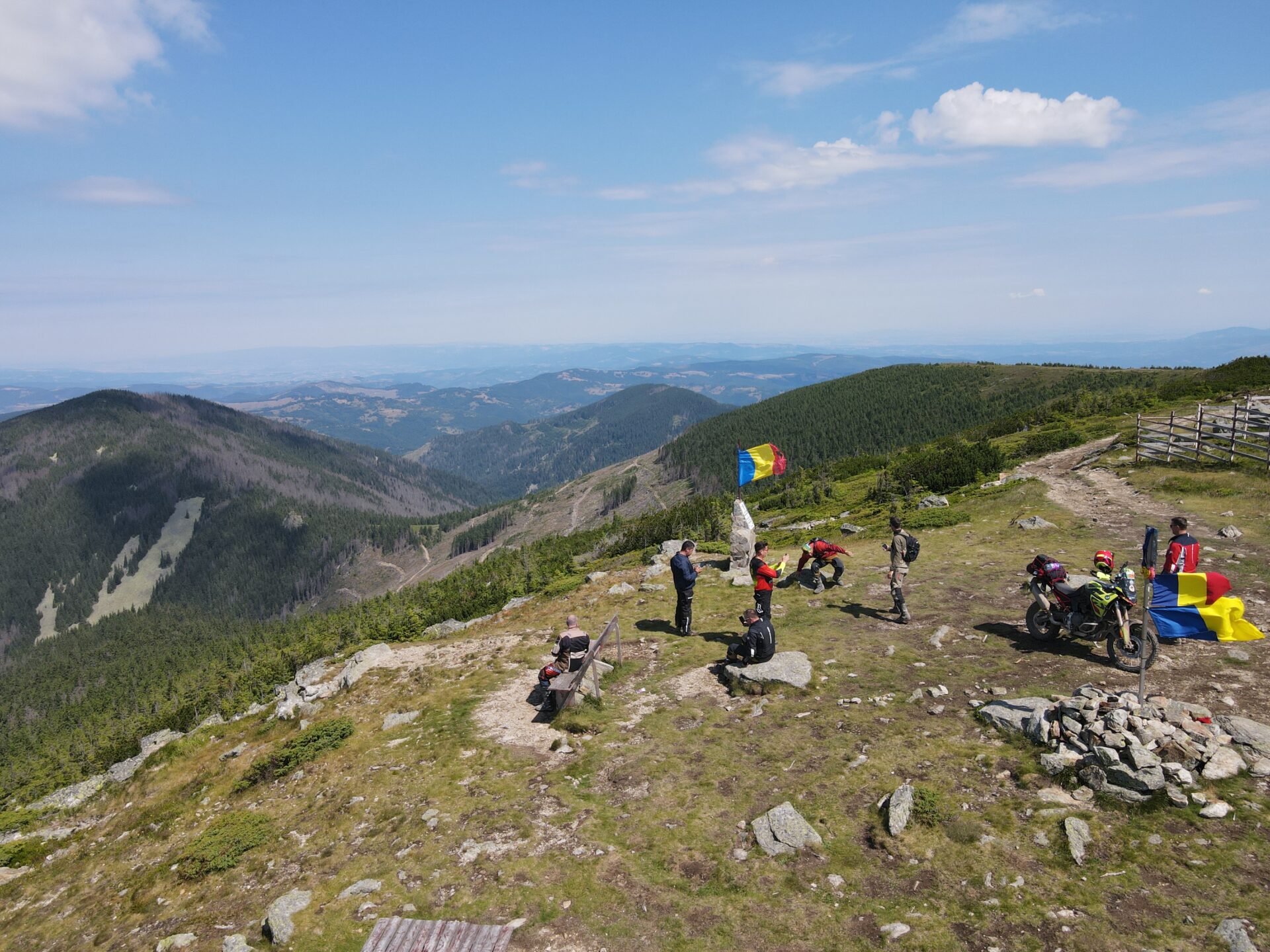
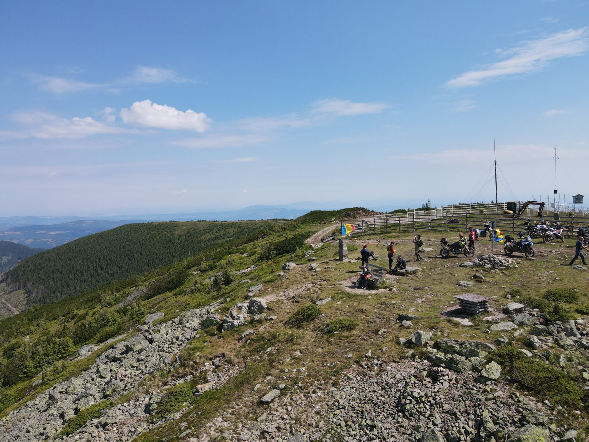
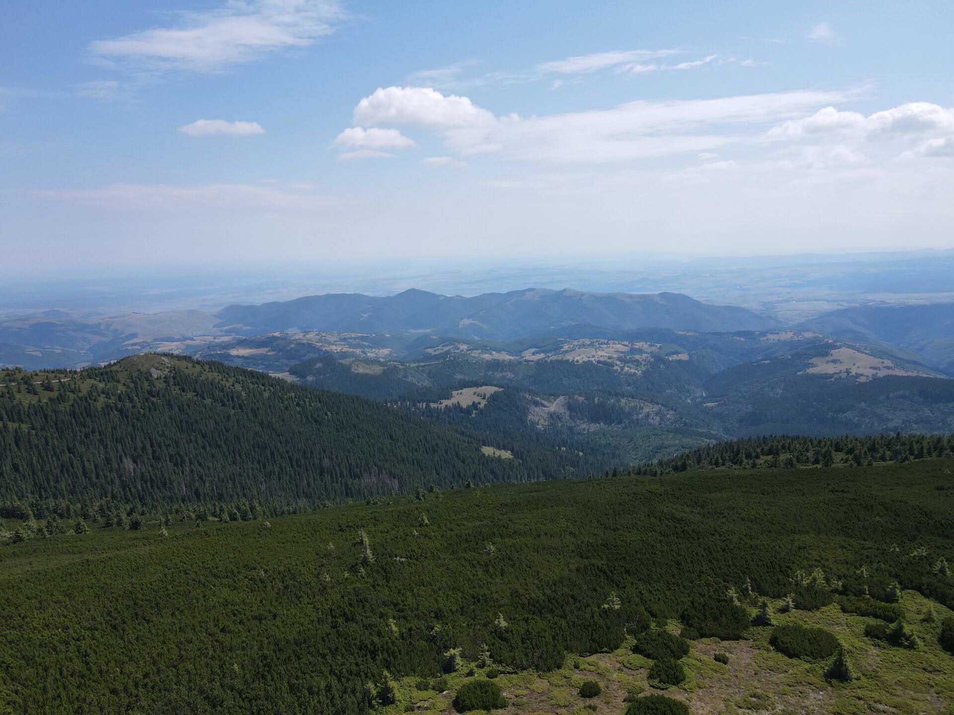
We are at 1830m altitude on the peak of Vlădeasa de Nord. Here the road ends and if you can, you can walk on the path to the peak of Vlădeasa de Sud (1836m alt.)
Descent to Răchițele
The descent is made on the same road to the Vlădeasa chalet. We turn right at the intersection with the road we came on. Then about 200m later we reach another intersection. From here you can also go down onto the asphalt if you don’t feel like off-roading anymore.
We will take it to the right and enter the forest again. There is a section that I personally like a lot. The road winds along the mountainside, on the contour line. It is a succession of wooded areas with sunny glades, the road is crossed from time to time by small streams of water. The appearance of the road becomes much wilder, it is more uneven and there are sections with boulders. At a certain point you will climb a little, and you will reach a fork immediately after a sharp curve to the right. You will have to take the road to the left, that is, the one that goes down. This place is called the Pietrei Albe saddle.
We continue for a while on the mountainside then after a short descent we reach a place where cut logs are stored. From here the road enters the Stanciului Valley and we will follow this valley until the end of the route, to the village of Răchițele. The road on the Stanciului Valley is quite good, well paved and without large slopes.
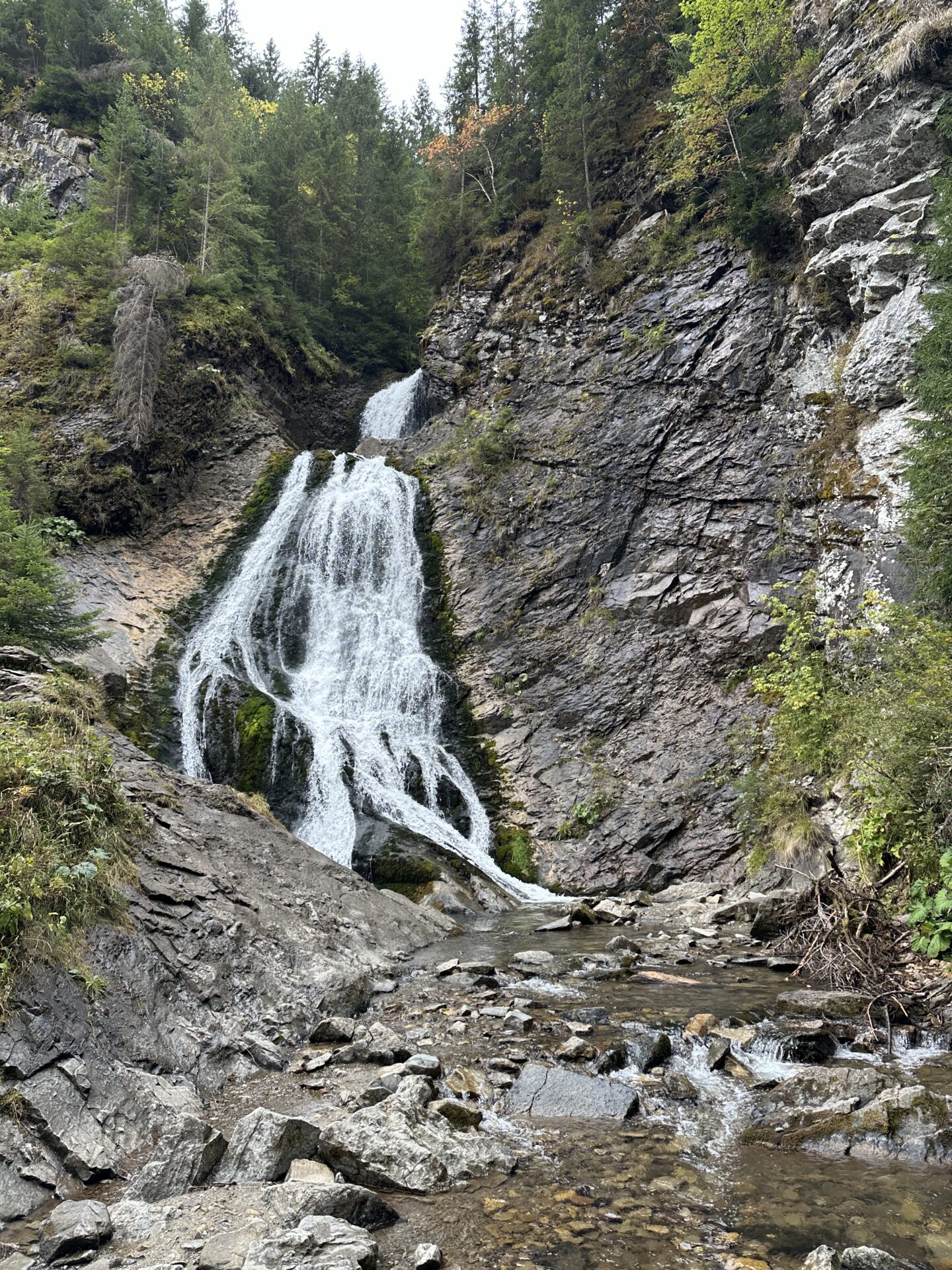
A final point of interest on the route is the Vălul Miresei waterfall 6km from Răchițele. From here to the village you will have to walk carefully because there are a lot of tourists who make the way to the waterfall on foot.
Similar roads
OFF77-Bihor Peak
OFF77-Bihor Peak
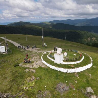
OFF76 Avram Iancu – Muntele Găina – Cârțulești
OFF76 Avram Iancu – Muntele Găina – Cârțulești